Satellite Imagery for Construction Monitoring
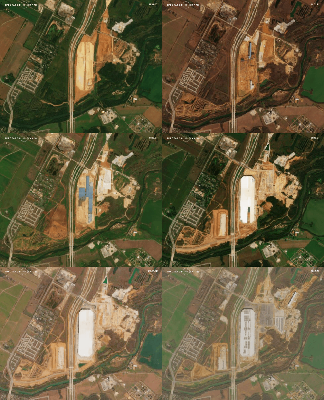
Using satellite imagery for construction monitoring Using satellite images has become increasingly popular in the construction industry to track project progress. With access to high-resolution satellite imagery and advanced data processing algorithms, construction companies can remotely monitor and manage their projects, resulting in improved project efficiency and reduced costs. Satellite images offer detailed information about…
Highlights of most interesting observations in October 2022
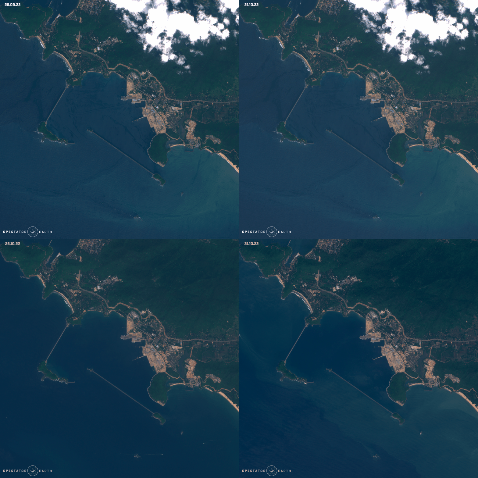
Highlights of most interesting observations from October 2022 Here’s a summary of our curated observations from the last month. Observations are based on Copernicus Sentinel-2 satellites’ acquisitions. October was not as varied by sudden atmospheric changes as the summer but still presented us with many astonishing observations. The continuation of wildfires With the beginning…
Satellite image browsing history, new channels view and better sharing.
Organise, save and share. As the first update of 2021, we bring to you a new way to handle your observations, make it easier to share what you see and automatically store your browsing history for later. Saving observation state From now on when you’re working on your observations, all changes and settings will be…
How to download the latest satellite images?
Although we do our best to simplify taking images from satellites to be as easy as taking them from your smartphone, there is a couple of differences worth learning before you start working with space-based data. TL;DR For those who simply want a quick tutorial on how to get the most up to date satellite…
One last thing before 2021 – new features and improvements to prepare for what’s coming next!
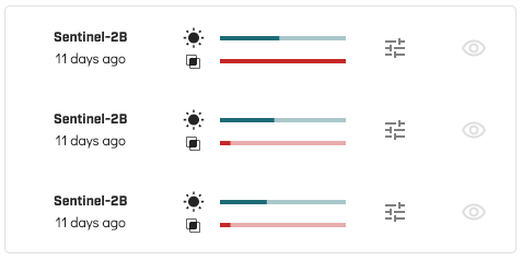
Before you pop your champagne bottle, saying goodbye to a very – well, let’s just say, peculiar year – check out new features prepared for you as the last upgrade in 2020. Area coverage and visibility bars for quick filtering To make it easier for you to find the right imagery, we’ve added…
Increased free API limit, satellite acquisition plan viewer improvements and more!
It’s difficult to prototype new ideas without the right tools that would allow us to focus only on the most important things. For this reason, we’ve decided to increase the daily limit on our API usage. We hope this will make it even easier for you to create and share awesome knowledge built based on satellite…
Trending areas and a calendar for satellite overpasses – the October update released!
What’s new? In case you were wondering what are the hottest locations for satellite monitoring recently – we got you covered! We have just released a new version of the app, which includes an option to display trending areas all around the world. We hope this will help when trying to stay up-to-date with the…


