Satellite Imagery for Construction Monitoring
Using satellite imagery for construction monitoring
Using satellite images has become increasingly popular in the construction industry to track project progress. With access to high-resolution satellite imagery and advanced data processing algorithms, construction companies can remotely monitor and manage their projects, resulting in improved project efficiency and reduced costs. Satellite images offer detailed information about the site, including land use, topography, and vegetation cover, which can assist construction companies in project planning and decision-making.
spectator.earth allows for the comparison of satellite images from the beginning of a project to those taken today, providing a visual representation of any changes that have occurred in the construction process over time.
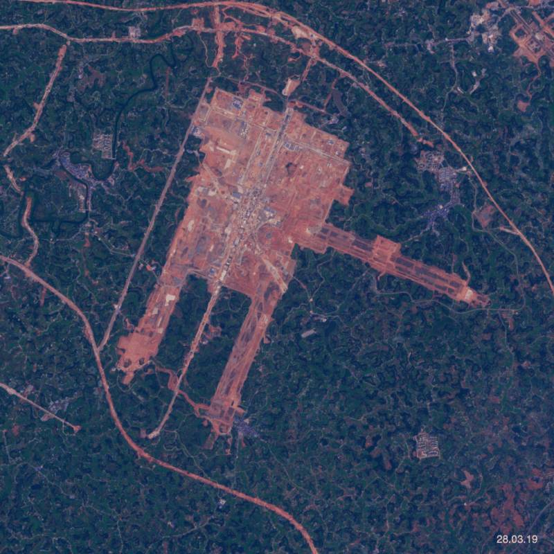
Observation of Chengdu Tianfu International Airport
To show you a simple example of this type of observation, we’ll focus on the relatively new Chengdu Tianfu International Airport. The airport officially opened on June 27, 2021, and is the second international airport in Chengdu, making it the third Chinese city to have two international airports, alongside Beijing and Shanghai. The airport’s construction began in May 2016, with an initial investment of 10.8 billion dollars in the first phase.
Using the Copernicus Sentinel-2 satellite, we can collect images in the span of 4 years. Here’s a short video showing how to collect data for this location:
By comparing satellite images chronologically, we have created an animation showcasing the construction process and changes that have taken place at Chengdu Tianfu International Airport:
Beyond its visual appeal, the simple visualization created can be utilized to measure real metrics such as the area covered and progress percentage over time. By leveraging these metrics, construction companies can accurately track project progress and make data-driven decisions.
In addition to its practical applications, the platform also provides a variety of fascinating global events to explore through satellite imagery. For more simple examples check out our list of recent observations.
Start observing today!