Top satellite observations from spectator.earth in 2022!
Top satellite observations from spectator.earth in 2022!
Here’s a summary of our top observations from the last year. Observations are based on Copernicus Sentinel-2 satellites’ acquisitions. This whole year was varied by sudden atmospheric changes, as well as less noticeable, long-drawn events and presented us with many astonishing observations.
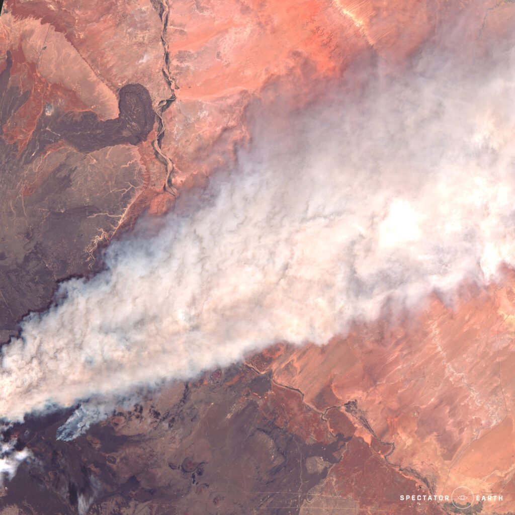
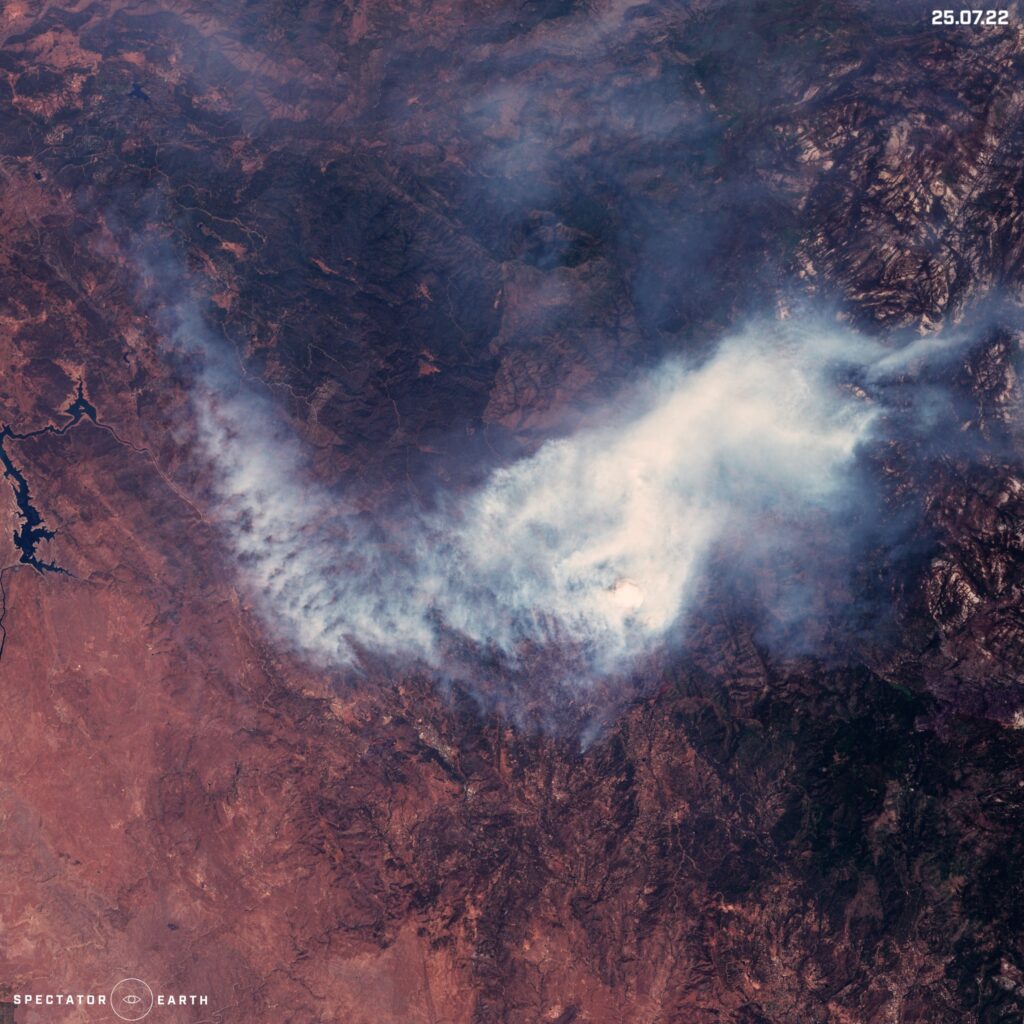
Wildfires around the world
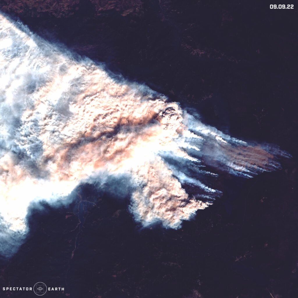
Despite the changes in temperatures and humidity during the year, it didn’t change the fact that we could still see many ongoing wildfires, no matter the season. However, most memorable fires happened during summer months, such as:
- Pipeline Fire in Arizona
- Oak Fire – one of the largest fires in California in 2022
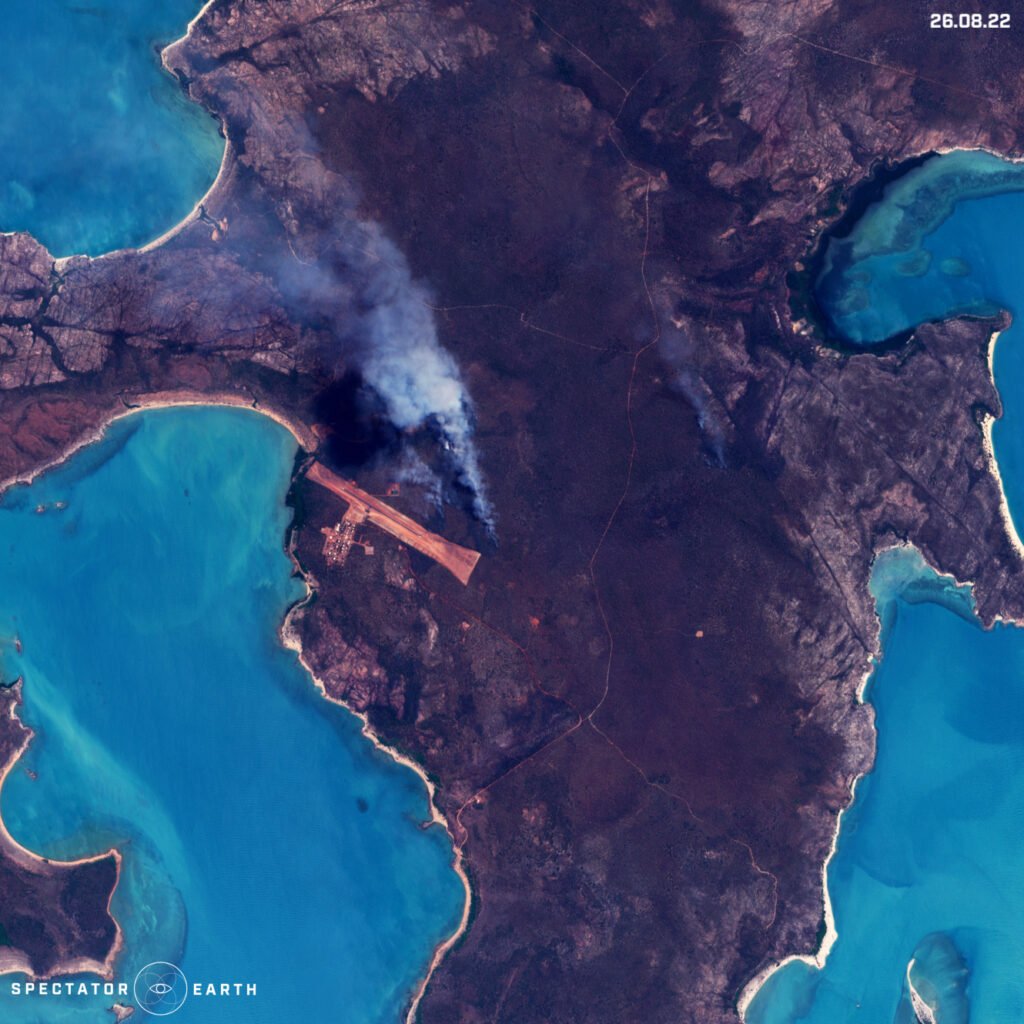
- Fire on Bickerton Island in Australia
- Cedar Creek Fire on the east of Oakridge
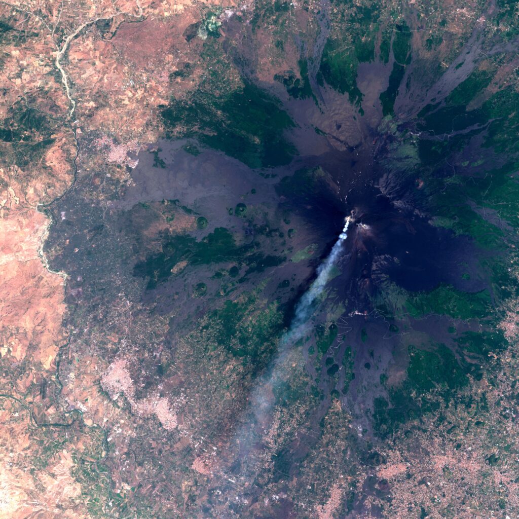
Active Volcanos
We can observe most volcanic eruptions no matter the time of the year:
- Very visible all throughout the year activity of Etna in Sicily
- October activity of Alaid volcano located on the Kuril islands.
- Noticeable process of formation of an island caused by recent eruptions of the Home Reef volcano

Other Effects of Climate Change
During 2022 there have been many flash flooding events. Climate change is resulting in very polarized struggles in our environment. On one hand, we have a serious problem with droughts, on the other – we have heavy but short rainfalls, which are resulting in floods:
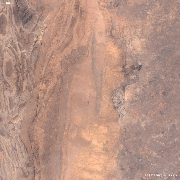
- Floods in Pakistan visible in Hamal Lake area.
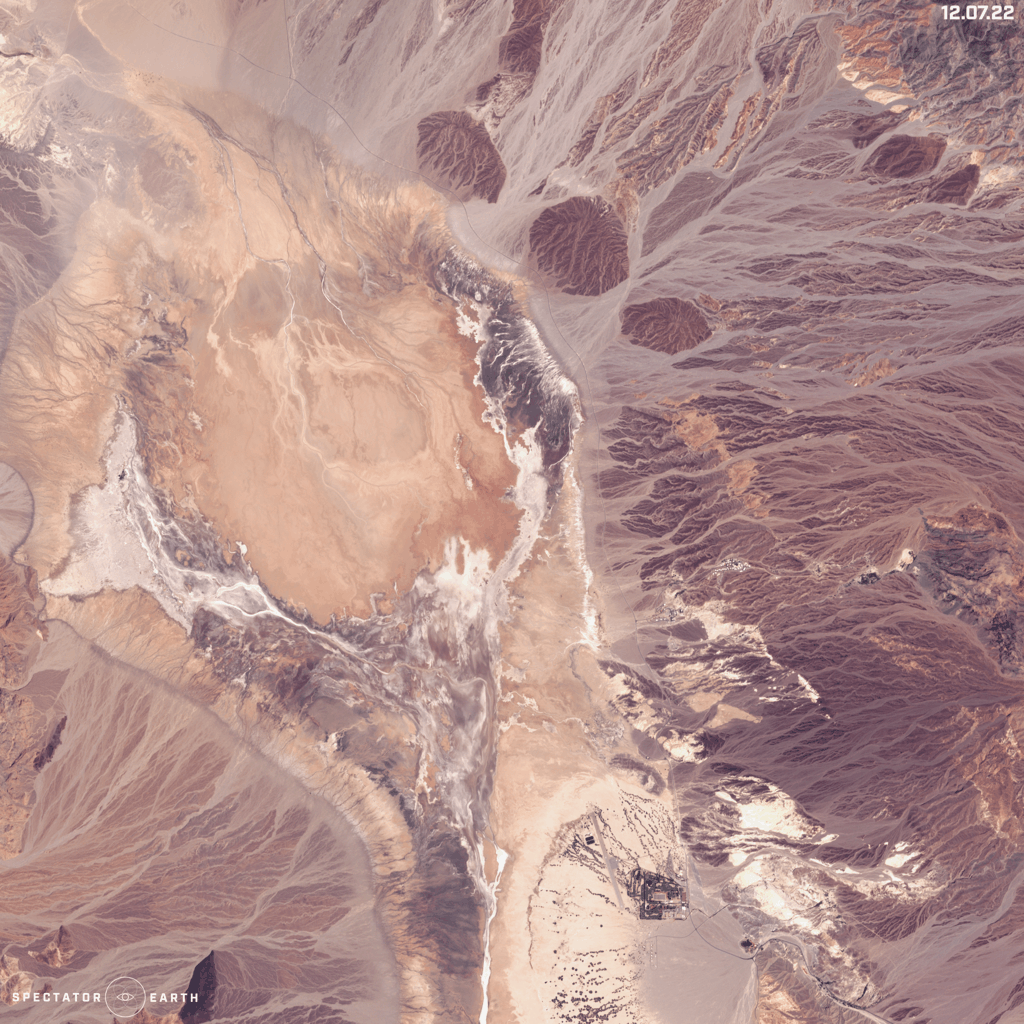
- Flood in Death Valley – an extremely dry place in California, where in summer 3/4 of its annual rainfall fell in just 3 hours.
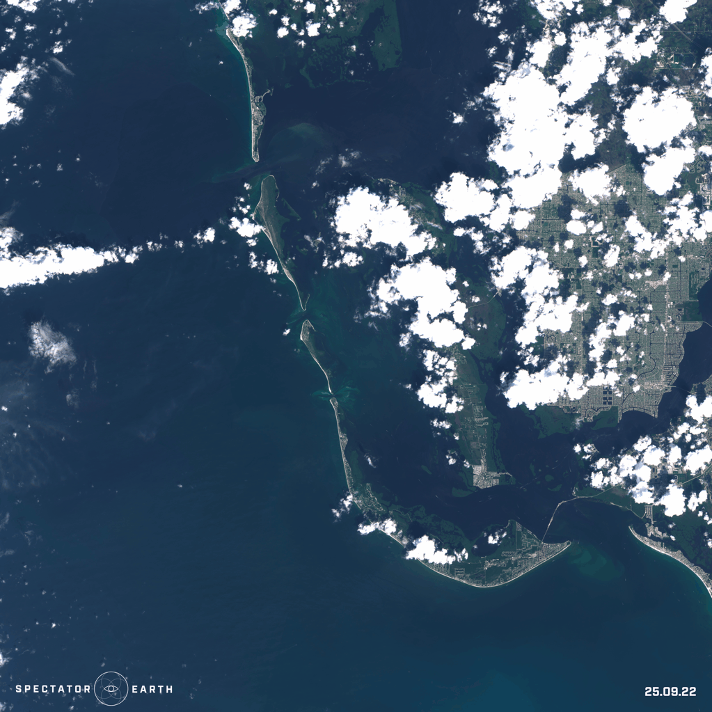
- The beginning of Autumn was filled with hurricanes and typhoons. One of the most talked about hurricanes was Ian, which had devastating consequences for the state of Florida.
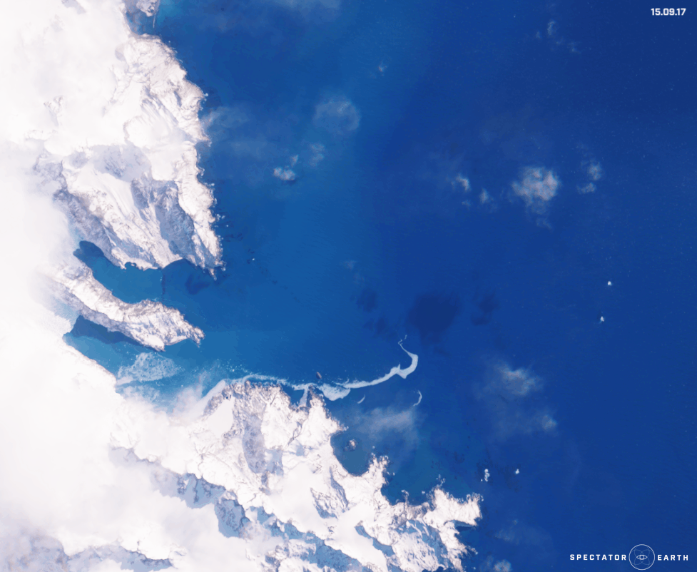
- We can also observe changes in a bigger time frame, like the melting of the Twitcher Glacier over the past 6 years.
OSINT
Satellite imagery enables us to follow the course of action and events happening all over the world:
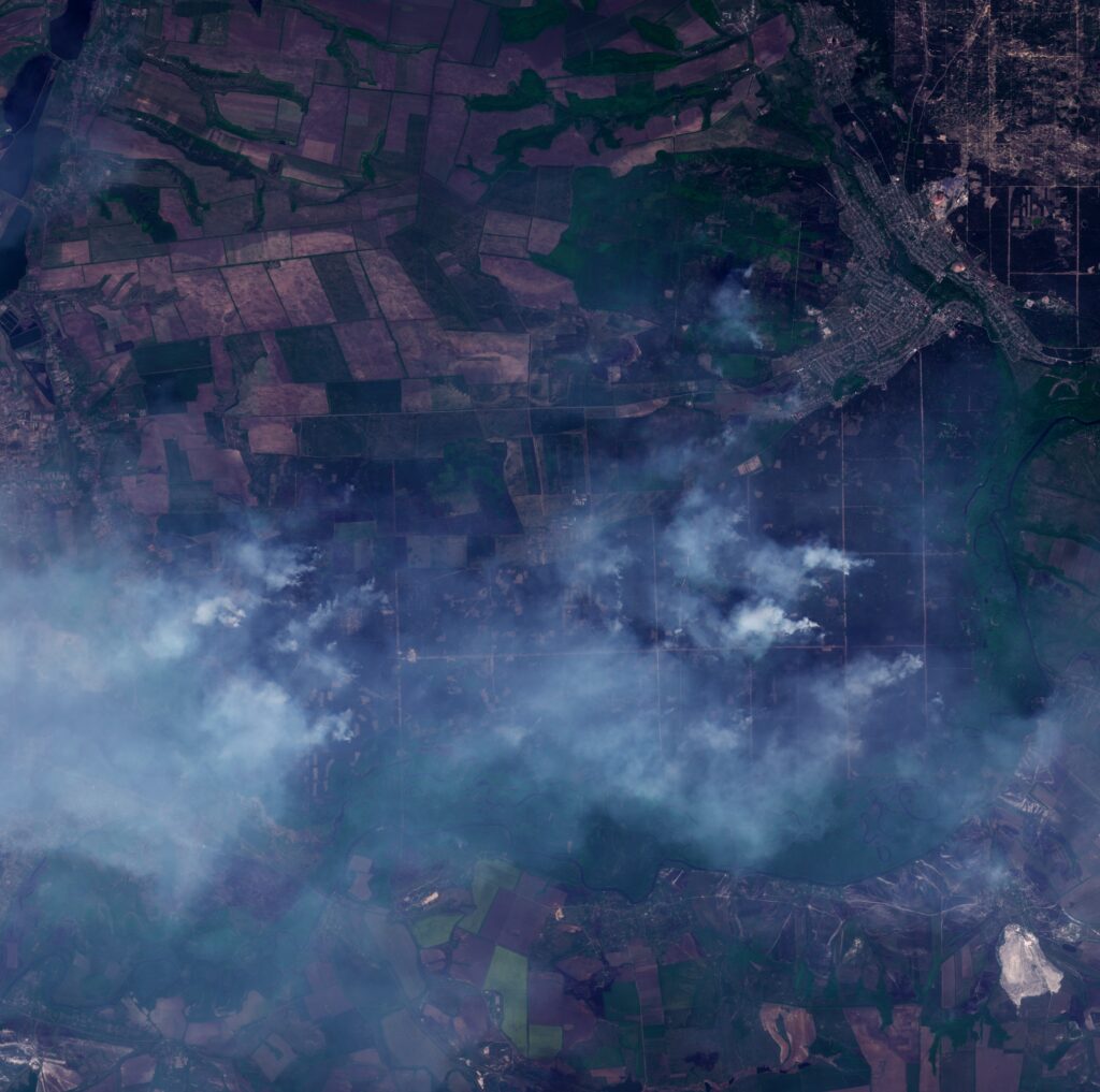
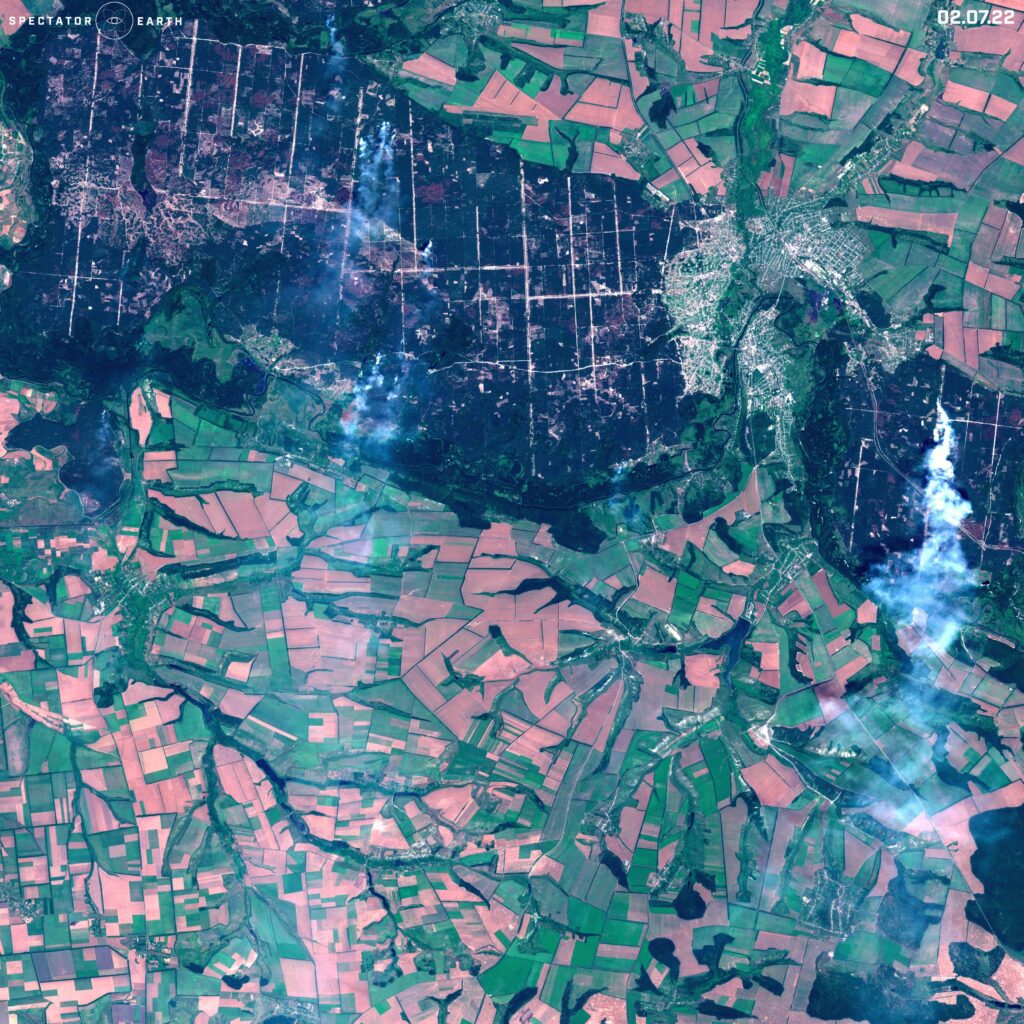
- We could see the continuation of intense fighting in military conflicts, for example in Ukraine. Multiple fires were visible from different parts of the country, like Sievierodonetsk, Sloviansk, and Mariupol in the images below.
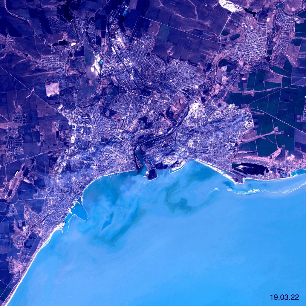
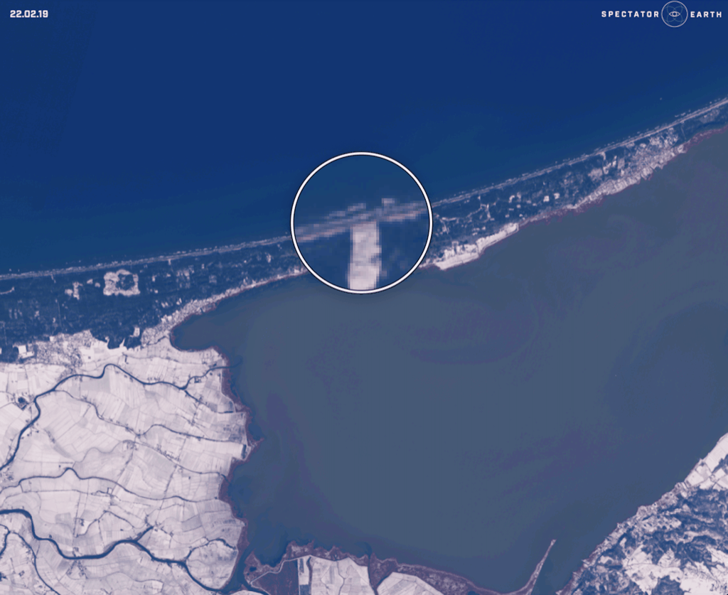
- On September 17 there was an opening ceremony for the Vistula Spit Canal in Poland, which allows bypassing of the Russian Strait of Baltyisk. Below we can see the construction of the Canal which started in February 2019.
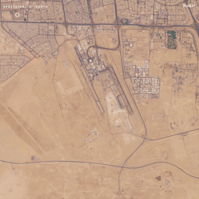
- We could also monitor many different constructions, such as a construction of a new terminal at Kuwait International Airport.
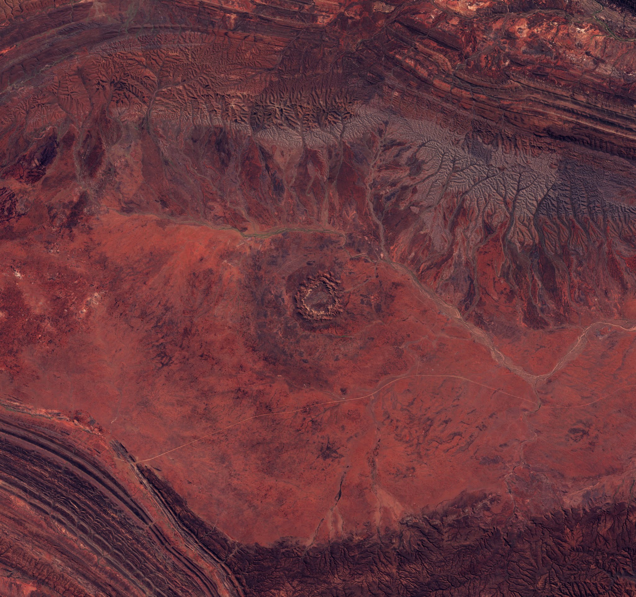
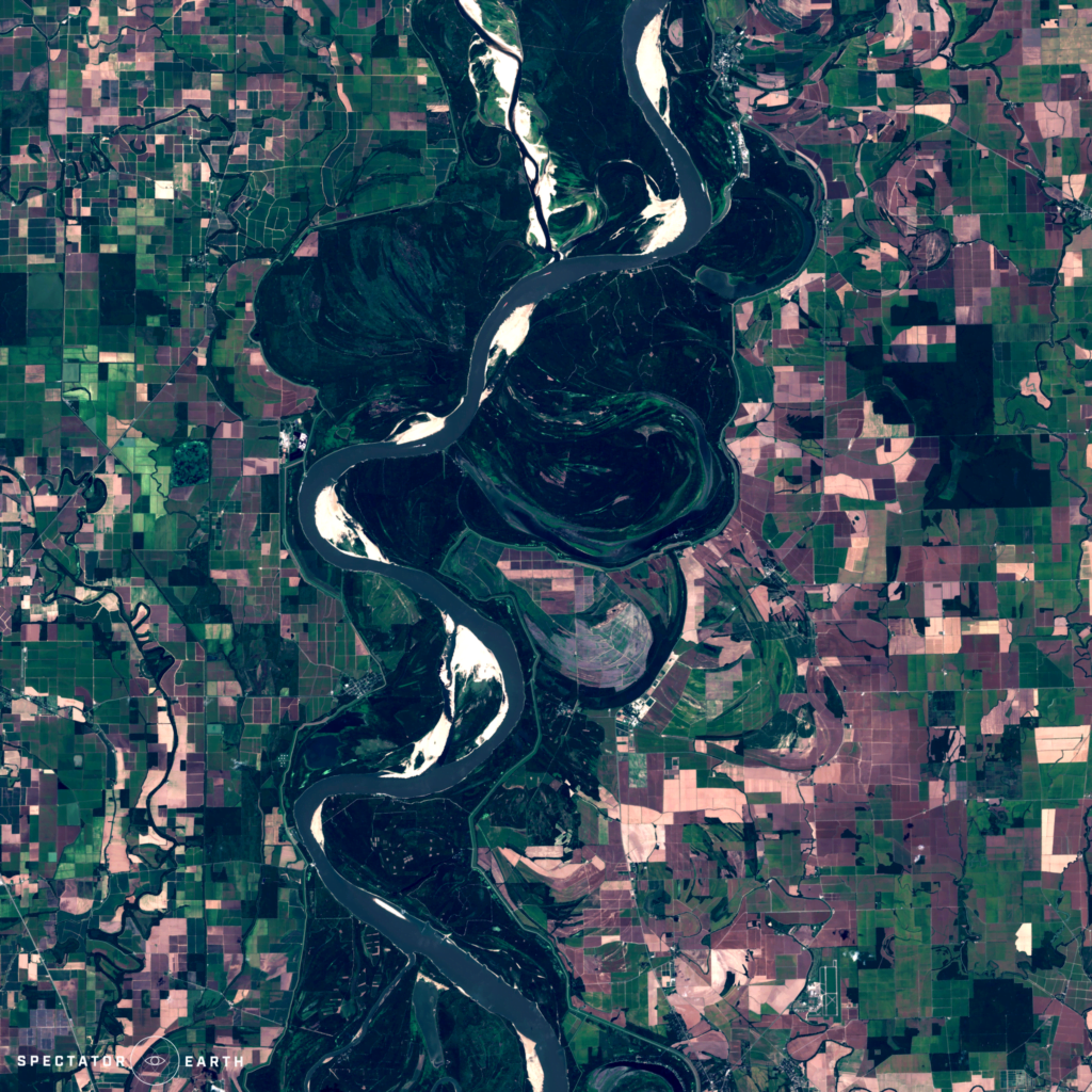
Beautiful Views
Besides monitoring many world events, we can also use satellite imaging to look for amazing views worldwide. Thanks to satellite images, in just a couple of seconds we can transport to another continent and appreciate the beauty of our planet.